
Drought worsens across Chicagoland with possible heat records this weekend

CHICAGO – Chicagoland’s drought conditions continue to worsen after a week without rain, and hot weather in the days ahead will only add to the stress.
What we know:
The latest Midwest Drought Monitor map shows moderate drought expanding to cover most of the Chicago area, which has seen zero rainfall in the past week.
Moderate drought conditions across Chicago area | U.S. Drought Monitor
Nationally, parts of every state in the lower 48 are classified as abnormally dry or in some stage of drought.
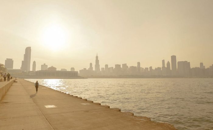
Temperatures remain well above normal. Thursday marks the 23rd consecutive day of warmer-than-average highs. Chicago is expected to top out in the mid-80s under mostly sunny skies, with slightly cooler conditions along the lakefront.
Friday will be the hottest day, with highs near 90 degrees, just shy of the record of 91 set in 1954. Both Saturday and Sunday could also challenge daily records, which stand at 90 and 88 respectively.
What’s next:
The first real shot of rain looks to arrive on Tuesday as a cold front sweeps through the area. Highs that day will drop into the 70s, followed by mid- to upper-60s on Wednesday.
Until then, the combination of heat and dry weather will likely cause drought conditions to expand even further.
The Source: The information in this report came from FOX 32’s Mike Caplan and the U.S. Drought Monitor.